Augusta Wisconsin Maps Index
Check out all 20 Maps
Augusta Wisc. City Maps, Eau Claire County maps, Wisconsin State Maps, Eau Claire Township Maps.
NEW! Scenes Videos on
Augusta Wisconsin
Info and the
Green Eyes Bridge Video too!
Check out a map in the Augusta Wis Area, In Wisconsin - Click on them to see them full size
|
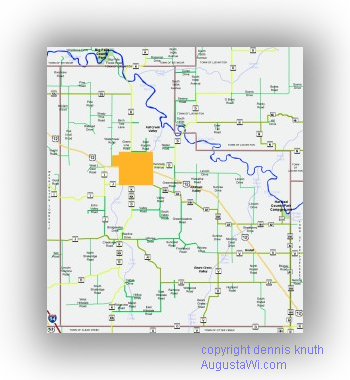
Augusta Wisconsin Geographic Street Map 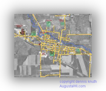
Augusta Wisconsin Map superimposed over a satellite map |
New! Sand Mine Maps in Eau Claire 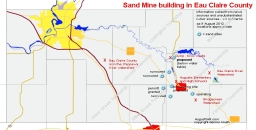
List of Streets,
features and locales in and near
Augusta Wisconsin |
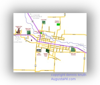
Street Map and the locations of: Augusta Schools, Bush Brothers, Augusta Cemeteries, and Augusta Parks map |
Click any of the Maps to go to the Map Full Size
|
Full Size State of Wisconsin Map on the Augusta Wisconsin Dells Mill Site 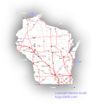
|
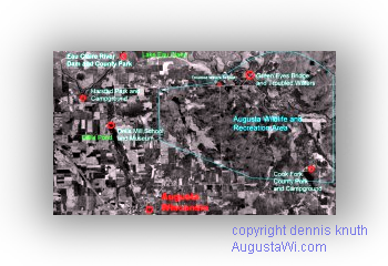
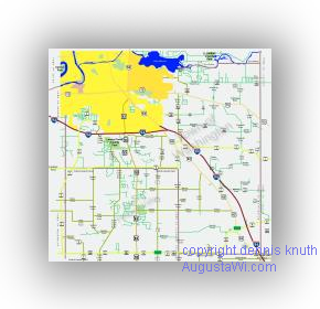
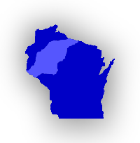 NEW! Revised Map of the Chippewa Valley including Wisconsin Counties Satellite Map of the Augusta Wisconsin Recreation Area |
Map to the Wisconsin Dells Mill local area on the Dells Mill site 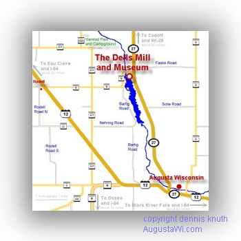 Local Map of the Augusta Wisconsin Dells Mill Area |
NEW! Series of individual Eau Claire County Township Maps in Detail More - These are large format maps with details of roads, locations to see
|
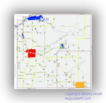
Bridgecreek Township and Fairchild Township Click on the Image to go to the Bridgecreek, home of Augusta and Fairchild township, home of Fairchild Wiscon |
Otter Creek Township and Clear Creek Township Click on the Image to go to the Otter Creek and Clear Creek township page |
|
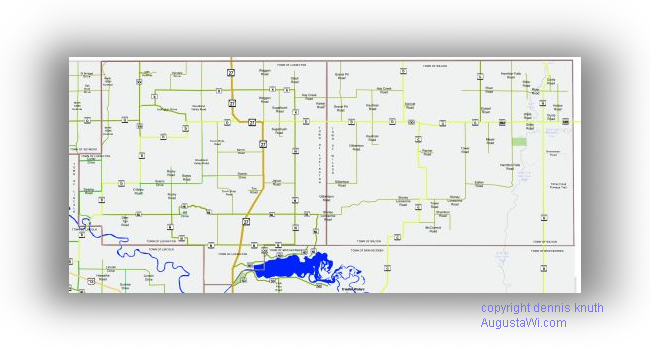
Ludington and Wilson Townships. Hunting and Lake Eau Claire Click on the Image to go to the Map of Ludington Township and Town of Wilson page |
Lincoln Township home of Fall Creek Wisconsin Click on the Image to go to the Map of Lincoln Township page |
|
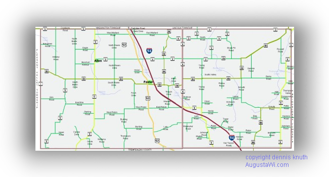
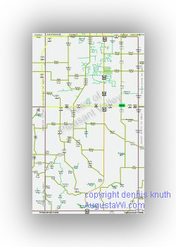
Pleasant Valley Township in Eau Claire County Click it Click on the Image to go to the Pleasant Valley township page |
Washington Township in Eau Claire County - Click it Click on the Image to go to the Eau Claire County Wisconsin Washington township page |
| Drammen Township Under Constsruction | Union Township Under Constsruction |
| Brunswick Township Under Constsruction | Seymour Township Under Constsruction |
Eau Claire County Maps
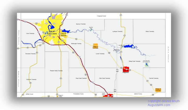
A Very Large Eau Claire County Map with Townships - click it
|
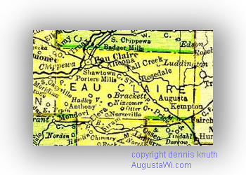
Wisconsin Eau Claire County in 1895 Click on the Image to see a full size map of Eau Claire County in 1895. Published with permission of Pam Rietsch - see a full size map of Wisconsin 1895 |
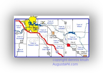
Small Eau Claire County Map of Townships Townships in Eau Claire County on a small map |
Chippewa County borders Eau Claire County on the North
Clark County
borders Eau Claire County on the East
Buffalo County, Trempealeau
County, and Jackson County border Eau Claire County on the South
Pepin County and Dunn County border Eau Claire County on the West
How to get to Augusta Wisconsin from Cities in the Mid-west
About 100 Miles to Eau Claire from Minneapolis / St.
Paul on I-94
Highway north Highway 53 exit, then Highway 12 south 18 miles, or
12 miles from the I-94 Exit at Osseo, Wisconsin, take Highway 10 east, 2
miles, then Left on County R to Augusta
302 miles from Chicago, 229 miles from Milwaukee, 163 miles from
Madison, Wisconsin, 110 miles from Wisconsin Dells, 93 Miles
from La Crosse, Wisconsin. Take I-90 / I-94 west then I-94 to the Black
River Falls Highway 12 north exit on I-94
188 miles from Green Bay, 95 miles from Wausau Wisconsin, take Highway
29 west and then Highway 27 south
155 miles from Duluth Minnesota / Superior Wisconsin south on Highway
53, then 18 miles east bound out of Eau Claire on Highway 12
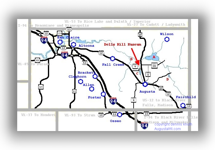 |
A = Lake Eau Claire |
Distances to Augusta Wisconsin from around the world
Augusta, Maine -
1,471 miles |
Missoula, Montana - 1,296 miles |
Misspellings of Wisconsin are Westconsen, Wescoinsen, Wesconsin, Wesconsen, Wisconsen Wiscoinsin, Wescoinsin, Wiscoinsen or Wiesconsen, or Westconsin

